


Overview
Editable world infographic map, easy to change colors, fonts and styles. High detailed and accurate vector shapes.
Create your own maps, use them in animations, websites, print, etc.
Features
- Detailed and accurate shapes.
- Countries grouped by continents and named
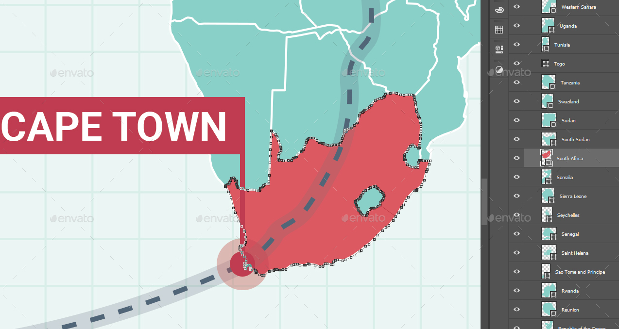
- Each country can be used as individual shape. You can do your own maps.
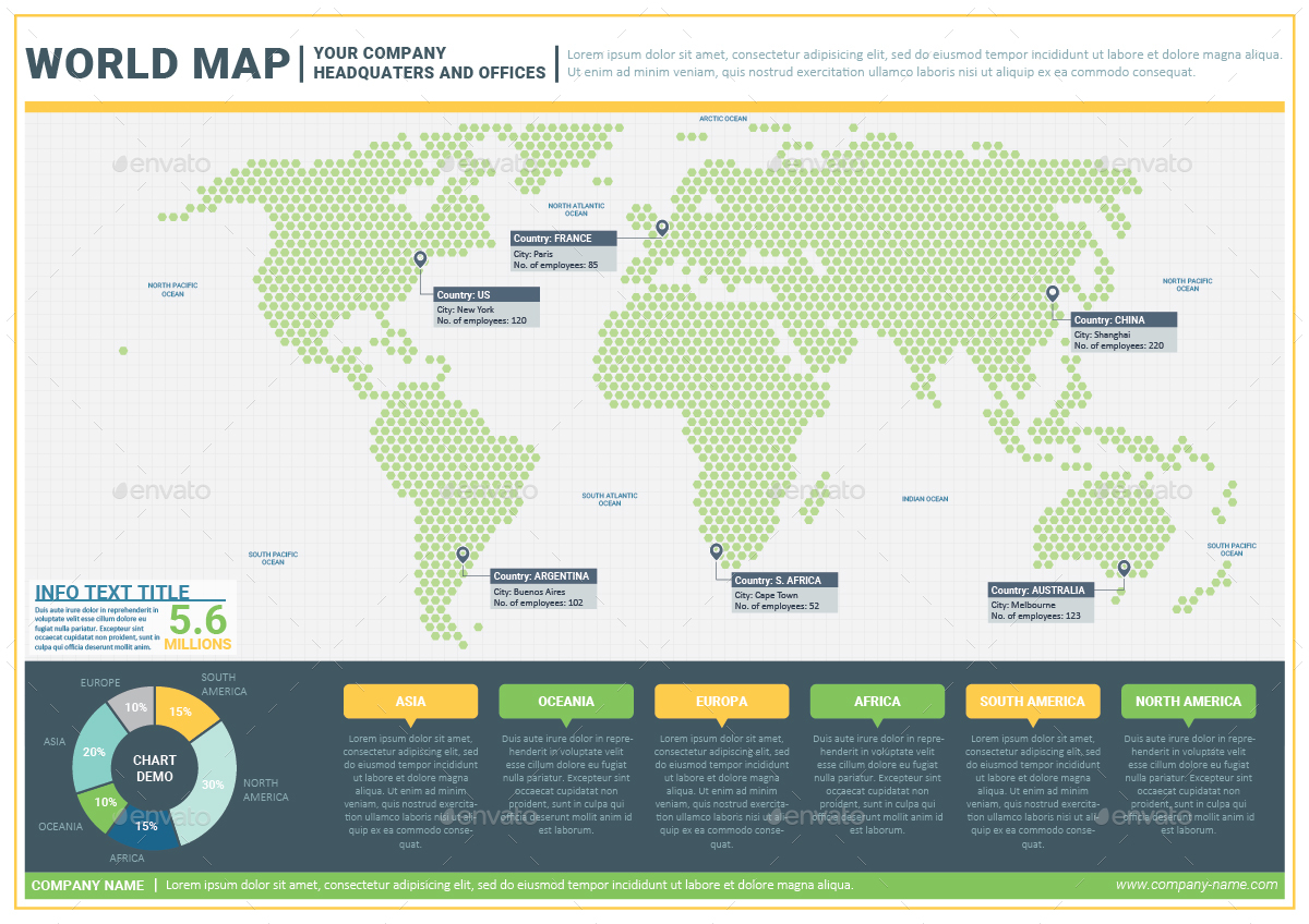
- A dotted version of the map (See screenshots button above)
- Land divided in continents, each on its own sub-layer
- Country names and capital names included
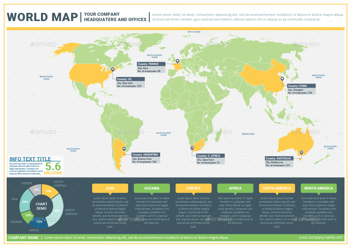
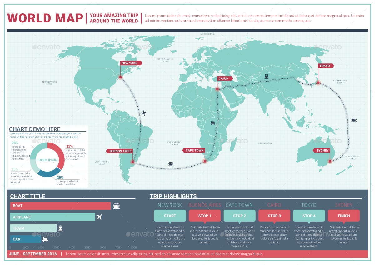
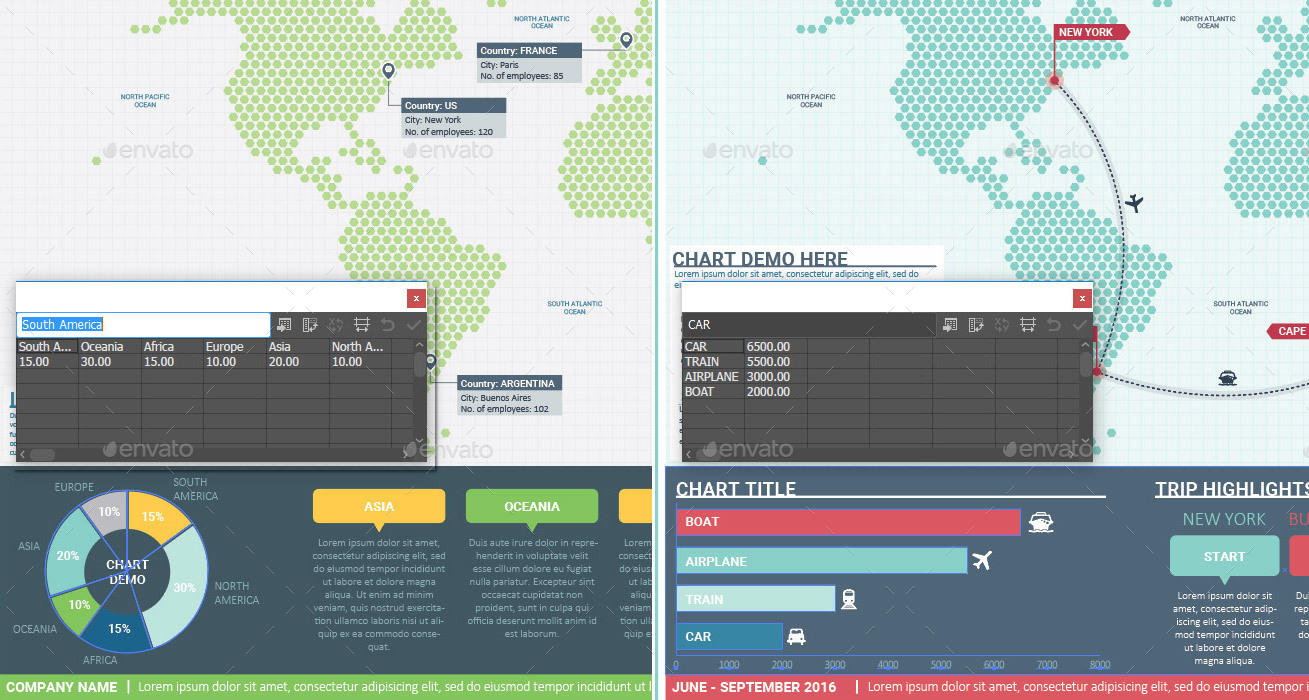
- Live charts, you can insert your own data directly in Illustrator
Content:
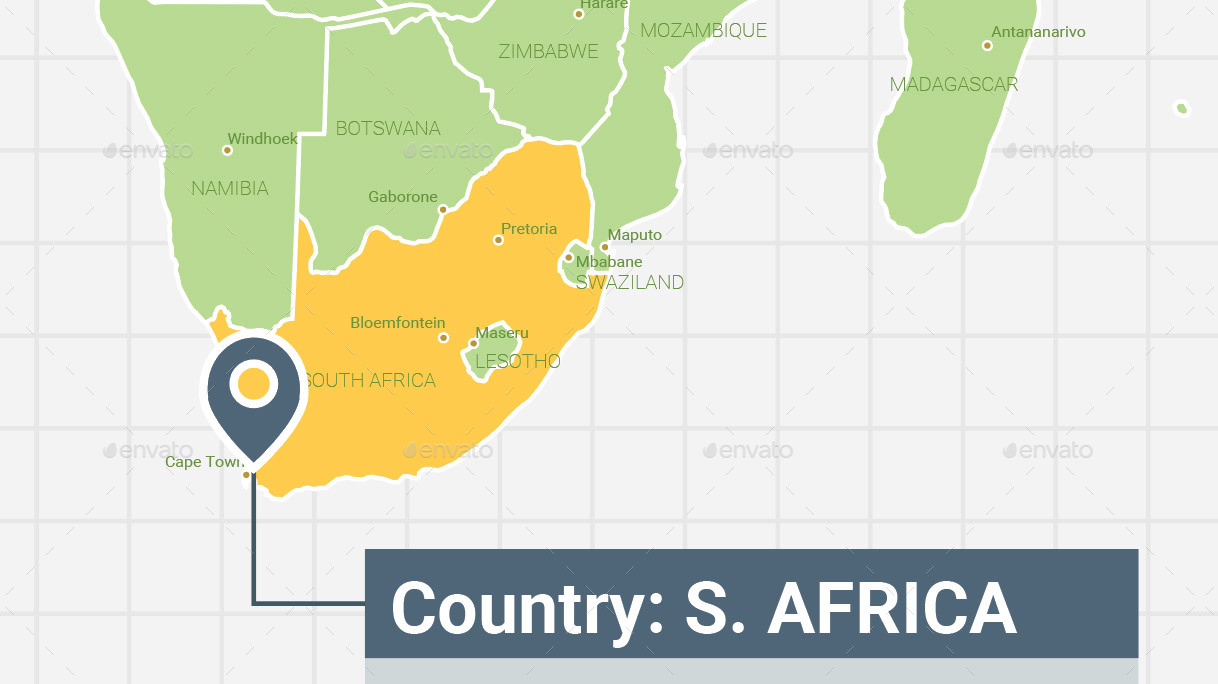
- World map – a way to map your company headquarters and offices around the world
- World map – a way to map your trip around the world
Filetypes:
- Adobe Illustrator CS5 file (layered)
- Adobe Photoshop file (layered)
- EPS file (layered)
- PDF file (layered)
- JPEG file (for preview)
Colors:
- CMYK color system
Page Size:
- A1 size, landscape orientation, 1 page for EPS and AI files
- 9933×7017 pixels, at 300DPI for PSD files
Fonts
- Roboto
- Calibri
Links to all fonts are provided in the info file.
Filetype Description:
The file is divided in layers and from bottom to top are:- background;
- grid;
- dotted map;
- land;
- continents;
- countries (with sub-layer for each continent and with all polygons named after each country);
- major lakes;
- country borders;
- coastline;
- ocean names;
- capital points;
- capital names;
- country names;
- headquarters and offices; / routes;
- location pins;
- footer;
- quickfacts;
- info text; / pie chart
- title;
- border
LIVE DEMO PHOTOSHOP FILE
LIVE DEMO ILLUSTRATOR FILE
Support
If you have any technical issues please let me know.Contact me through my profile page.
Thank you!